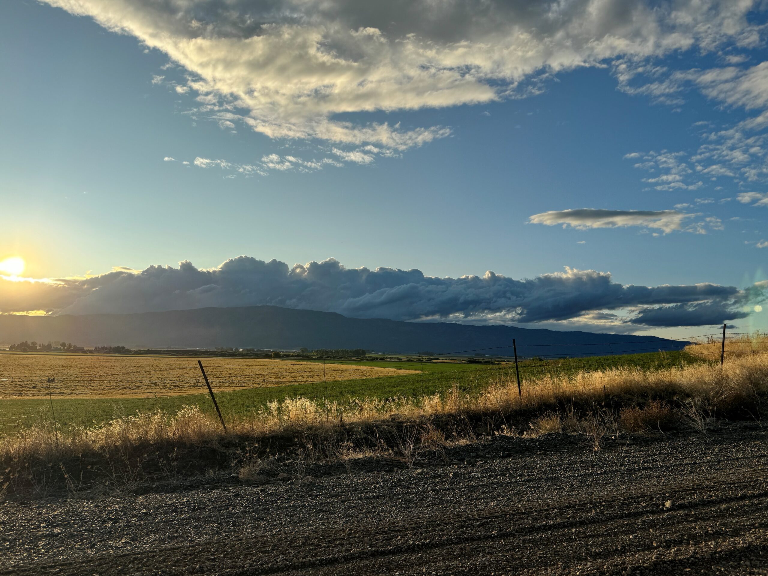
08/28/24, from about 1545 to 1630 hours, the drone was set up and deployed in the area of the Oregon State Police Office near an open field. This deployment was to set up initial vehicle internet connections, test, and familiarize the operator with the specific drone.
09/01/24, from about 2130 to 2245 hours, the drone was deployed in the area of the Oregon State Police Office near an open field. This deployment was to test night-time capabilities, lighting equipment, and updating firmware for various components.
On 09/16/24, from about 1630 hours, until about 2030 hours, the drone was deployed in the area of Highway 244, and Rankin Road, to train with the North East Oregon SWAT Team while they conducted rural terrain movements.
The drone incorporated an element of overwatch and assisted with identifying/locating a role player, effectively communicating and coordinating with ground teams.
On 10/14/24, from about 0030 hours, until about 0100 hours, the drone was deployed in the area of Halley Road and Booth Lane, Island City. The use of the drone was in relation to case # SO24-0771, where several dogs were situated in a vehicle that was involved in a motor vehicle crash and at least one appeared injured. Another dog ran from the crash and could be heard in distress nearby in a wooded area. Attempts were made by personnel to find the animal, but it could no longer be heard. The drone was deployed in an attempt to locate one or more of the missing animals to help provide them with medical attention.
On 10/21/24, from about 1330 hours, to 1430 hours, the drone was deployed in the area of Ladd Canyon to assist units in searching for a potentially armed individual with a felony warrant who fled from law enforcement (Case # SO24-0797). While the drone was searching the area, the individual was seen at a separate location by a ground unit and taken into custody without incident.
On 10/26/24, from about 1830 hours, until about 2000 hours, the drone was deployed in the area of Pumpkin Ridge, Summerville. The drone was used to assist in suppressing a wildland fire that had spread to about 60 acres. The drone’s thermal camera actively mapped the fire and provided an approximate, real-time map for ground crews.
On 12/29/24, from about 2135 hours, to 2224 hours, the drone was deployed in the area of EOU for training and demonstration with the LGPD. This time was also used to update firmware.


